Mine rehabilitation at Rio Tinto Argyle Diamond
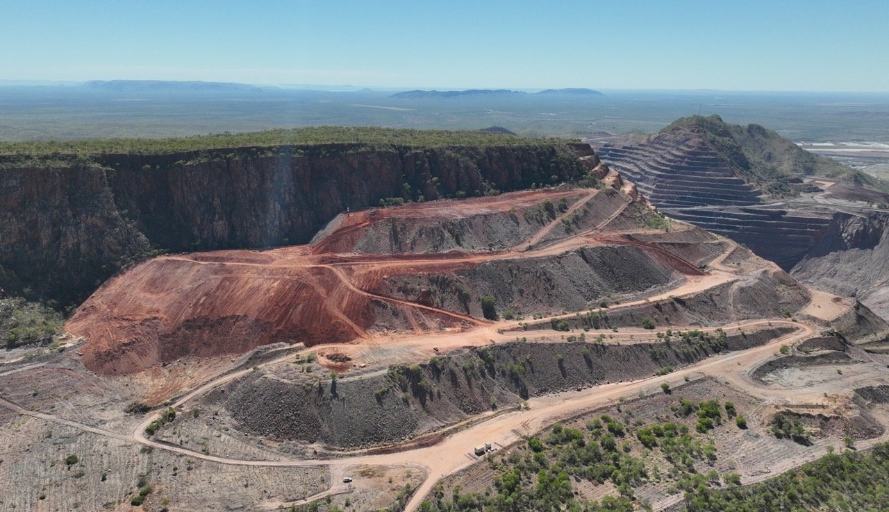
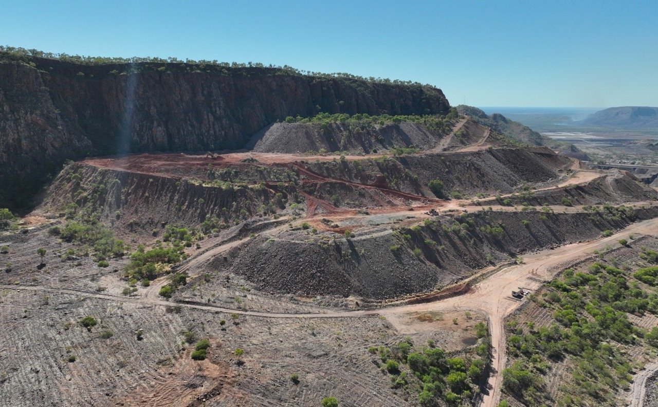
Located in Western Australia, specifically in the traditional territory of the Miriwoong, Gija, Malgnin, and Wularr people, the Argyle Diamond mine commenced operations in 1983 and ceased mining in November of 2020. An extensive five-year closure and rehabilitation process is underway, with the ultimate goal of returning the land to its original custodians. This process will be followed by ongoing monitoring and maintenance to ensure the land's continued restoration.
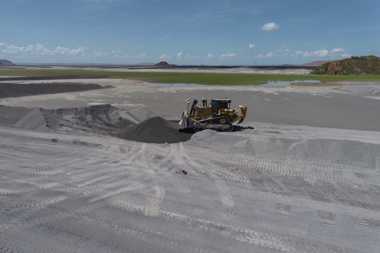
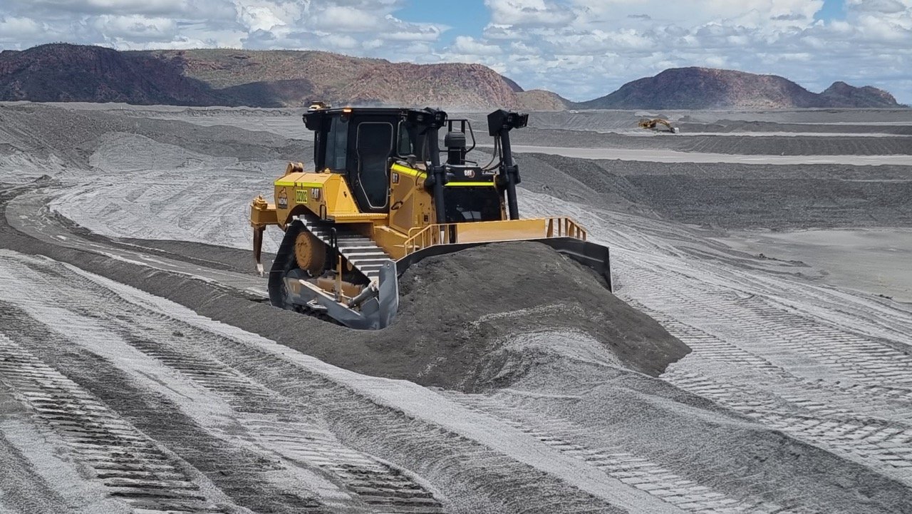
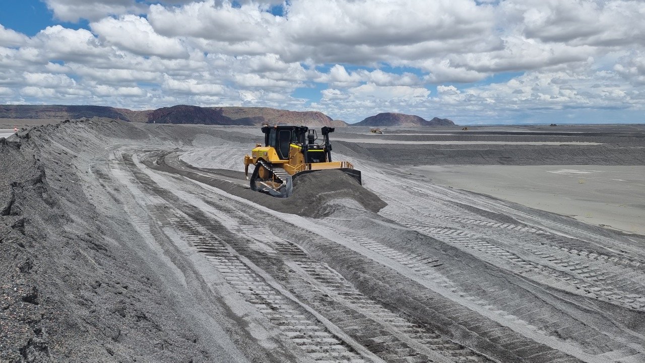
At present, MDM is engaged in crucial rehabilitation work on the tailings dam and reshaping the land to its natural state, an important step after 37 years of operations.
Using technology to improve environmental and cultural heritage risk controls
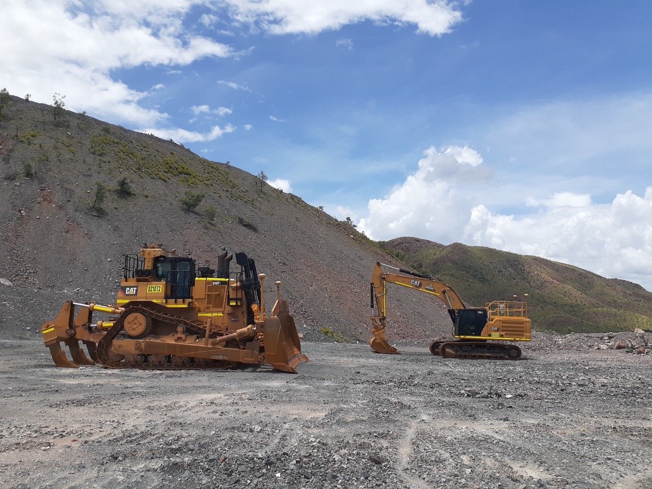
MDM have recently trialled and implemented geofencing technology for their works at the Argyle Diamond Mine closure project.
The Argyle Diamond Mine (ADM) Ground Disturbance Procedure requires that all proposed works resulting in ground disturbance are authorised by a Ground Disturbance Permit (GDP), which will determine the appropriate controls through Geographical Information Systems (GIS) mapping and visual assessment. Physical boundary demarcation (pegs/flagging) are used as key controls to ensure disturbance boundaries (e.g. regulated areas/heritage sites) are clearly highlighted and understood by the work group.
How does geofencing work?
Geofencing is an electronic barrier that provides an alert to the equipment operator when approaching a set boundary and can be used in circumstances where it is impractical to physically demarcate a disturbance boundary e.g. on steep slopes or over water bodies. Geofencing controls can vary depending on the equipment, but as a minimum should sound an audible alarm for the operator when approaching a set boundary.
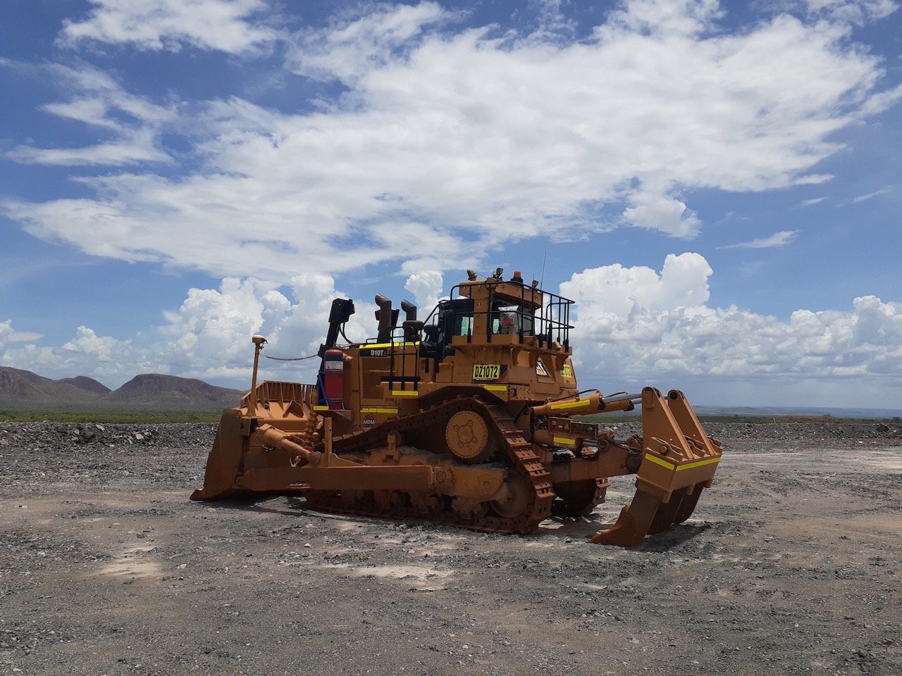
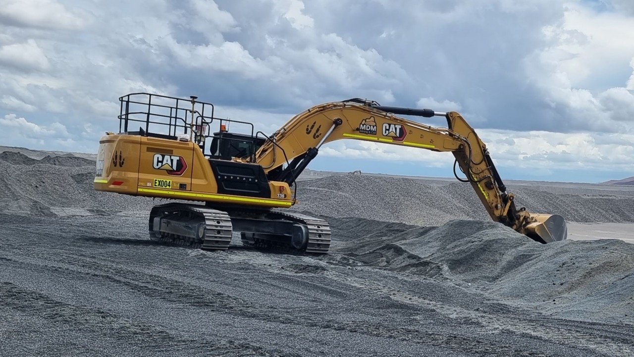
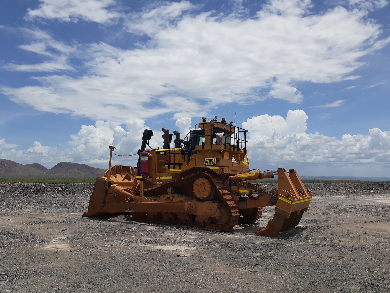
MDM's geofencing system not only alerts the machine operator when within a set distance from the disturbance boundary, but will also physically override equipment controls e.g. can prevent an excavator bucket slewing across a boundary. For bulldozers, the geofence will prevent the bulldozer from tracking over the geofence by shutting the machine down. The controls are tested daily as part of the equipment pre-operational inspection to ensure the geofence is in working order. The use of the geofence not only prevents clearing permit breaches but also provides the operator some confidence that a boundary will not be inadvertently traversed, resulting in an adverse outcome.

